Quick Answer
Yes, removing photo metadata deletes the hidden GPS location saved inside the file. It does not remove a visible GPS stamp printed on the photo itself, since that stamp is part of the image and not the metadata. Social media apps and messaging tools often strip this hidden data automatically the moment you upload a photo.
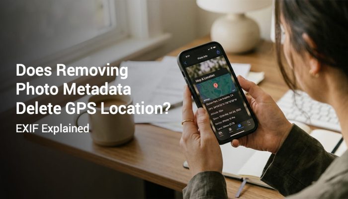
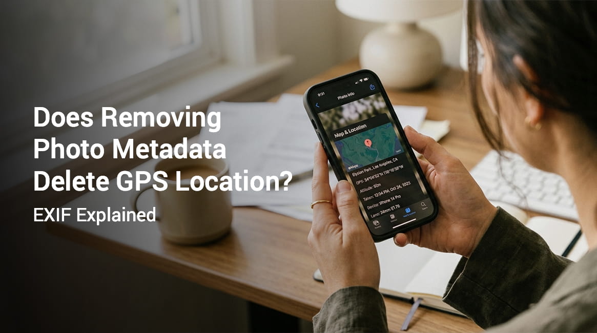
Does removing photo metadata delete GPS location? The short answer is yes for hidden data and no for a visible stamp. A photo can carry location information in two completely separate ways, and knowing the difference matters if you ever need that photo to hold up as proof of where it was taken. This guide breaks down how each system works and which one you can actually rely on.
This page is part of our full photo GPS and EXIF metadata guide, which covers everything from how geotagging works to how to read coordinates from a file.
What Is Photo Metadata and Why Does It Contain GPS Data?
Photo metadata is information stored invisibly inside an image file. It is not part of the picture you see on screen. You cannot spot it just by looking at a photo.
The most common metadata format is called EXIF, short for Exchangeable Image File Format. Most smartphones and digital cameras use this standard to record technical details the instant a photo is captured.
EXIF data commonly includes:
- Date and time the photo was taken
- Camera make and model
- Lens and exposure settings
- File size, resolution, and color profile
- GPS coordinates showing where the photo was captured
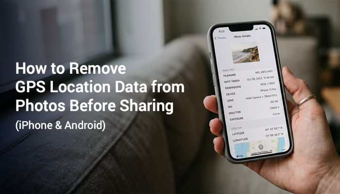
Geotagging is the process of writing GPS coordinates into a photo’s metadata. Most phones geotag photos automatically once you grant the camera app location access.
Coordinates are the latitude and longitude values that mark a precise point on Earth. A jobsite photo taken in Chicago might carry coordinates near 41.8781 N and 87.6298 W stored quietly inside the file.
This hidden data helps you sort photos by location later. Its major limitation is that nobody can see it. A client, manager, or inspector reviewing the photo has no way to view it without special software.
GPS accuracy can vary based on signal strength, device settings, and nearby buildings.
Does Removing Photo Metadata Delete GPS Location?
Yes. When EXIF data is stripped from a photo, the GPS coordinates stored in that metadata are deleted along with everything else in the block. Location data and the rest of the technical details all live in the same hidden layer.
Stripping metadata is a single action that clears every EXIF field at once. There is no standard tool that removes only the GPS field while leaving the rest untouched, though a few advanced editors allow selective field removal.
This matters in two very different situations.
- For privacy: removing metadata erases the hidden GPS location, so anyone who receives the file cannot pull your coordinates from it.
- For documentation: if metadata is your only proof of location, stripping the file destroys that proof, whether you strip it on purpose or a platform does it for you.
How Does Removing Metadata Delete the GPS Location? A Step by Step View
Here is what happens behind the scenes when metadata is removed from a photo.
Step 1: The photo is captured
The camera reads GPS coordinates from your device’s location sensor and writes them into the EXIF block inside the file.
Step 2: EXIF data sits hidden inside the file
You cannot see this data in the photo. It can be read by compatible apps, desktop software, or a dedicated metadata viewer.
Step 3: A stripping tool or platform removes the EXIF block
This action deletes the entire metadata layer at once, including the GPS coordinates.
Step 4: The resulting file has no location data
The image looks exactly the same. The GPS location is simply gone.
Step 5: Anyone who opens the file sees no location
There is nothing left to recover, because the coordinates no longer exist in the file.
This process happens automatically on many platforms. Social media sites, messaging apps, and some cloud storage tools strip EXIF data on upload, so the photo arrives with no GPS data attached even if location was turned on when it was taken.
EXIF GPS vs Visible GPS Stamp: What Is the Difference?

This distinction is the key to understanding location proof in photos.
| Feature | EXIF GPS Metadata | Visible GPS Stamp |
|---|---|---|
| Where it is stored | Hidden inside the file | Printed on the photo itself |
| Visible by looking | No | Yes |
| Survives social media upload | Usually stripped | Yes, it is part of the image |
| Survives messaging apps | Often stripped | Yes |
| Readable without special tools | No | Yes |
| Removed by stripping metadata | Yes | No |
| Useful for inspection reports | Limited | Yes |
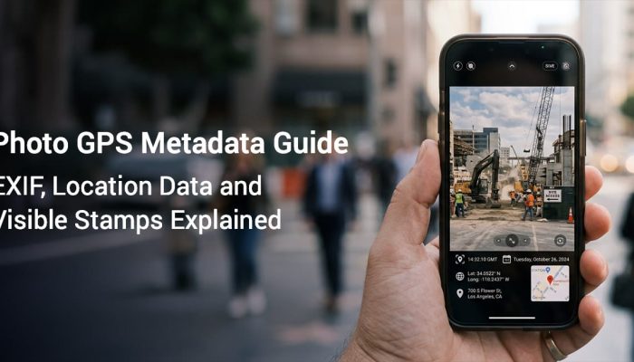
A visible GPS stamp is text or a map overlay rendered directly onto the photo at the moment it is taken. It becomes part of the image pixels rather than a separate hidden layer. When you share the photo, the stamp travels with it.
Because the stamp lives inside the image itself, stripping EXIF metadata has no effect on it. The photo still shows the address, coordinates, date, time, and map view for anyone who opens it.
This is why field workers, site inspectors, delivery staff, and construction teams increasingly rely on GPS stamp cameras instead of hidden metadata alone. See our full breakdown in metadata vs visible GPS stamp.
When Does Metadata Get Stripped Automatically?
You may never actively choose to remove metadata, yet it can disappear anyway. Here are the common places where EXIF GPS data gets deleted without you doing anything.
Social media platforms: most major platforms compress uploaded photos and strip EXIF data as part of that process, so your coordinates never reach the recipient.
Messaging apps: many apps remove metadata before delivering photos to protect user privacy, so the other person receives a file with no location attached.
Email clients and webmail: some providers remove EXIF data from attachments, though this varies by provider and by account settings.
Cloud storage sync: some services strip metadata to save space or protect privacy, so check the documentation for the service you use.
Export and compression tools: photo editors, file converters, and batch processors sometimes discard EXIF data on export, especially into a compressed format.
Screenshots: a screenshot of a photo carries no original EXIF data at all, since it is a brand new image file.
This automatic stripping is a big reason hidden GPS metadata is unreliable as documentation. You might assume your location data made it into the file, and platforms may have already removed it before the photo reached its destination.
What Remains After Metadata Is Removed?
When metadata is stripped from a photo, the visible image does not change. The pixels stay identical. Composition, color, and content are all untouched.
What disappears is the invisible data block attached to the file, including:
- GPS coordinates, latitude and longitude
- Altitude data, if it was recorded
- Timestamp and timezone information
- Camera make and model
- Lens, aperture, shutter speed, and ISO settings
- Color space and orientation flags
- Copyright and author fields, if they were set
Nothing visible to the eye is lost. Only the hidden technical record disappears.
This is exactly why visible GPS stamps exist as a separate solution. A stamp embedded in the image during capture is not metadata, it is part of the photo, and no stripping process can touch it.
Photo Metadata GPS Removal: Privacy vs Documentation
The same feature, the ability to remove EXIF GPS data, serves two opposite purposes depending on who is using it.
For privacy: removing metadata before sharing a photo protects your location. A photo taken at home or another private place reveals nothing once the EXIF data is gone.
For documentation: field workers, inspectors, real estate agents, and delivery professionals who need to prove where a photo was taken cannot rely on metadata alone, since it can be stripped anywhere along the sharing process.
This is why documentation use cases call for a visible GPS stamp instead of, or alongside, EXIF data. The stamp is proof you can actually see and verify.
Use location stamps responsibly, and get consent from anyone involved before sharing sensitive location details.
Frequently Asked Questions
Removing EXIF metadata removes the GPS coordinates stored in the file. A visible GPS stamp, if one was added, still shows location details. Recognizable landmarks or street signs in the photo can also reveal location even without any metadata.
No. Removing EXIF data does not change the visible image in any way. The pixels, colors, and composition stay identical, since only the hidden data block is deleted.
Yes. Stripping EXIF data removes the hidden GPS coordinates stored inside the file. It does not remove a visible GPS stamp printed on the photo, since the stamp is part of the image rather than the metadata layer.
You need a GPS camera app that overlays location, address, date, time, and coordinates onto the photo the moment you capture it. Because the stamp is printed on the image rather than stored as metadata, it cannot be removed by stripping EXIF data.
Not reliably. EXIF GPS data can be stripped by platforms, apps, or file transfers before a photo reaches its destination. A visible GPS stamp is more dependable for inspections, field reports, and delivery proof, since it is embedded directly in the image.
EXIF stands for Exchangeable Image File Format. It is hidden information stored inside image files, including the date, time, camera settings, and GPS coordinates. You need a metadata viewer or compatible app to read it.
Most messaging and social platforms strip EXIF data during upload or delivery, so the GPS coordinates never reach the recipient. A visible GPS stamp is not affected, because it is part of the image itself.
Keep Your Location Proof Visible
Hidden metadata gets stripped. Visible GPS stamps do not.
If you take photos for work reports, site inspections, delivery records, or real estate documentation, GPS Map Camera adds a clear location stamp directly onto your photos the moment you take them. The stamp includes the address, GPS coordinates, date, time, and an optional map view, all visible and all shareable without worrying about metadata being stripped.
Download GPS Map Camera on iOS or Android and start building photo documentation that holds up wherever the photo is shared.
App features may vary by device and OS version. GPS accuracy may vary based on signal quality, device settings, and nearby buildings.