Quick Answer
Yes, people can see where photos were taken when the image still carries GPS data or shows a printed location stamp. Hidden GPS data needs a free EXIF reader to open. A printed stamp needs no tool at all because the location sits on the image itself.
The real question is not whether the data exists. It is whether the data survives the way you shared the photo. Some platforms wipe it on upload. Others pass the original file through untouched.
This page covers who can read your location in each sharing situation. For the background on how location data gets written into an image file, read the photo GPS and EXIF metadata guide.
Two Ways a Photo Gives Away Its Location
A photo can reveal where you stood in two separate ways. Only one of them is visible to the eye.
- Hidden GPS metadata. Your phone writes latitude and longitude into the file as EXIF data. Nothing appears on screen. The coordinates sit inside the file until a tool reads them or a platform strips them.
- A visible GPS stamp. A camera app prints the address, coordinates, date and time onto the image pixels. Anyone who opens the photo reads the location instantly.
These two behave in opposite ways once you share the photo. Metadata is fragile and often gets removed. A stamp is permanent because it became part of the picture. The difference between stored metadata and a printed stamp decides almost everything about who ends up seeing your location.
Can People See Where Photos Were Taken on Social Media?
Usually not through hidden data. Major social platforms process every uploaded image and drop the EXIF GPS block during that process. Instagram, Facebook, X, LinkedIn and Pinterest all re-encode photos on upload.
That protection has limits worth knowing. Stripping happens to the file the platform serves publicly. It does not undo a location you typed into a caption. It also does nothing about a stamp printed on the image.
So a stamped photo posted to Instagram still shows its address to every viewer. The platform sees pixels, not data fields. Nothing gets removed because there is nothing to remove.
What Each Sharing Method Actually Reveals
Where the photo goes matters more than the photo itself. This table shows what survives each route.
| How you shared it | Hidden GPS metadata | Visible GPS stamp |
|---|---|---|
| Instagram, Facebook or X post | Usually stripped | Fully visible |
| Email attachment | Usually intact | Fully visible |
| WhatsApp or Telegram photo | Usually stripped in compressed mode | Fully visible |
| WhatsApp or Telegram file mode | Usually intact | Fully visible |
| AirDrop or Bluetooth transfer | Intact | Fully visible |
| Google Drive or Dropbox link | Intact in the stored file | Fully visible |
| Screenshot of the photo | Removed | Still visible in the screenshot |
Why messaging apps behave differently
Most chat apps offer two send modes. The default compresses the image for speed and drops metadata as a side effect. The document or file mode preserves the original bytes including GPS coordinates.
People rarely notice which mode they used. That single tap decides whether your coordinates travelled with the photo.
Why cloud links are the quiet risk
Cloud services store your file rather than republish it. Anyone with the share link downloads the original. GPS metadata comes along with it because nothing re-encoded the image.
Who Can Actually Read Your Photo Location
Reading hidden GPS data takes no special skill. It takes a tool that anyone can find in seconds.
- The person you sent it to. Apple Photos, Windows Photos and Google Photos all show a map in the file details panel.
- Anyone they forward it to. Metadata does not weaken with each forward.
- Any website that accepts uploads. Free EXIF viewers return full coordinates in one click.
- Any viewer of a stamped photo. No tool is required at any point.
Coordinates convert to a street address in one more step. If you want to test this on your own images, see how to find out where a photo was taken.
Photo Location Privacy Risks Worth Taking Seriously
Knowing the risks helps you decide what to share and what to hold back.
- Home address exposure. Photos taken indoors carry your home coordinates. One geotagged image shared with a stranger can point to your front door.
- Pattern building. A handful of geotagged photos over weeks reveals your routine. Gym, school run and workplace all become predictable.
- Second hand sharing. You may strip data carefully. The friend who reshares your original file may not.
- Photos of other people. A geotagged group photo exposes everyone in the frame, not just you.
- Marketplace listings. Selling an item online often means uploading photos taken at home. Buyers can read the location if the platform stores the raw file.
Share location details responsibly. Get consent from anyone in the photo before you publish an image that reveals where they were.
How to Check and Control What Your Photos Reveal
Start by checking one recent photo. That tells you what your current settings are doing.
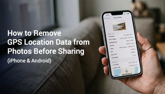
On iPhone, open the photo in Photos and swipe up. A map thumbnail under the details means GPS data is present. On Android, open the photo details or info panel and look for a Location row.
You then have three levers. Turn geotagging off at the camera so new photos carry no coordinates. Strip data at share time for photos you already took. Or leave the data in place when you need it for your own records.
Step by step instructions for both platforms live on our guide to remove GPS location data from photos. If you want to understand what actually disappears in that process, read what happens when photo metadata is deleted.
One caution about screenshots. A screenshot drops the original metadata but keeps every visible pixel. A stamped photo stays readable in screenshot form.

When You Want People to See Where a Photo Was Taken
Hidden location data is a privacy problem in personal life. In work settings the opposite is true. Field teams need location that a client can verify without opening a file inspector.
Hidden metadata fails that job for two reasons. Platforms strip it during upload so the proof vanishes on arrival. Editing tools can also rewrite it without leaving a trace.
A visible stamp solves both problems. The address, coordinates, date and time stay on the image through every upload. Inspectors, delivery teams, insurance adjusters and site supervisors rely on that permanence.
Frequently Asked Questions
Often yes. Cloud services store the original file rather than re-encoding it. Anyone who downloads through your share link receives the GPS metadata intact.
Not from hidden data. Instagram re-encodes every upload and removes the EXIF GPS block in the process. A location printed onto the image stays fully visible because it is part of the picture.
Yes if the file still holds GPS coordinates or shows a printed address. Coordinates convert to a street address in any mapping tool. Removing location before you share prevents this.
It depends on how you send it. The standard photo option compresses the image and usually drops GPS metadata. Sending the same image as a document preserves the original file along with its coordinates.
A screenshot creates a new file with no original metadata. Any location printed on the image survives because the screenshot copies what you see. So screenshots hide EXIF data but not visible stamps.
On iPhone, swipe up on the open photo and look for a map thumbnail. On Android, open the photo info panel and check for a Location row. A free EXIF viewer website confirms the answer for any file.
Keep Location Visible Only Where It Helps
Photo location is not something to fear. It is something to direct. Turn it off for personal photos and turn it on when proof is the point.
GPS Map Camera prints the address, coordinates, date and time onto your photo the moment you capture it. No editing step is needed. The stamp survives every platform because it lives in the image.
Use it for site inspections, delivery confirmations, field reports and property records. Use your normal camera for everything else. Available for iOS and Android.
GPS accuracy may vary based on signal quality, device settings and nearby buildings. App features may vary by device and OS version. Check the latest app version for current feature availability.