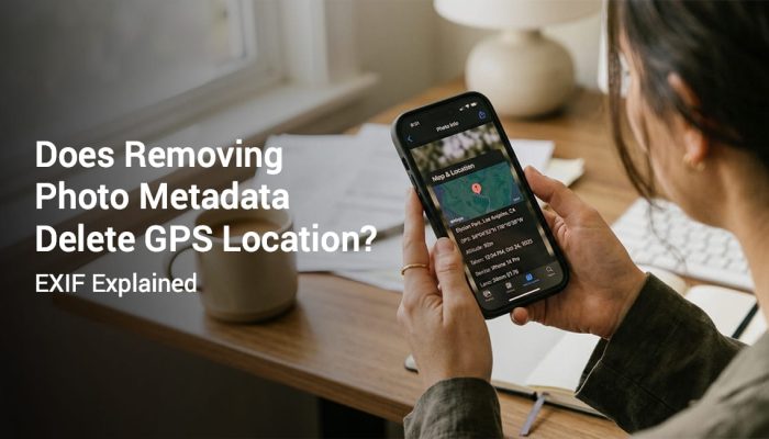
Many people assume a photo already contains location information. Smartphones often record this data automatically. The information is stored inside the image file as metadata. Most users never see it.
When photos are used for proof of work, inspections, or travel records, hidden metadata may not be enough. Clients and supervisors cannot easily check metadata. Visible GPS stamps solve this problem by placing location and time directly on the image.
This guide explains the difference between metadata and visible GPS stamp on photos. It also explains when each method is useful. You will learn why many teams prefer visible stamps for verification.
Quick Answer: Metadata vs Visible GPS Stamp
Metadata stores location information inside the image file. A visible GPS stamp prints the location and time directly on the image. Metadata requires tools to read it. A visible stamp can be verified instantly.
- Metadata is hidden inside the image file
- Visible stamp appears on the photo itself
- Metadata requires extraction tools
- Visible stamps are easier for audits
- Both use the same GPS data source
What Is Photo Metadata
Photo metadata is information stored inside an image file. This data includes camera settings, capture time, device model, and sometimes location coordinates. The technical format is often called EXIF metadata.
EXIF metadata can store GPS coordinates when location services are enabled. The data remains hidden until someone checks the file properties. Most people never view it during normal photo sharing.
Metadata is useful for photographers and technical workflows. It helps track camera settings and image history. However it is not ideal for quick verification.
What Is a Visible GPS Stamp
A visible GPS stamp is an overlay printed directly on the photo. The stamp usually shows coordinates, address, timestamp, or map preview. Anyone can see the information immediately.
This approach removes the need for metadata extraction. Reviewers can verify location and time without special software. That makes visible stamps useful for inspections and documentation.
Many field teams use GPS camera apps that automatically add these stamps during capture.
How Metadata Stores GPS Location
When location services are enabled, smartphones store coordinates in the EXIF metadata section. This data records latitude and longitude. Some devices also store altitude information.
The data remains attached to the image file. If the image is edited or compressed, metadata may be removed. Some messaging platforms also strip metadata during upload.
This means metadata may not always remain intact when photos are shared.
Why Visible GPS Stamps Are Easier to Verify
A visible stamp appears directly on the image. The reviewer does not need to open file properties. The information is immediately visible.
This saves time for clients, supervisors, and inspectors. It also reduces disputes about when or where the photo was captured. Visible proof improves documentation workflows.
Many teams use visible stamps when submitting work reports or inspection records.
Metadata vs Visible GPS Stamp Comparison
| Feature | Metadata (EXIF) | Visible GPS Stamp |
|---|---|---|
| Location visible on image | No | Yes |
| Requires extraction tool | Yes | No |
| Easy for clients to verify | No | Yes |
| Data can be removed during sharing | Yes | No |
| Better for documentation | No | Yes |
When Metadata Is Useful
Metadata works well for photography workflows. Photographers use it to track camera settings. It also helps with editing and image organization.
Metadata can also store useful information for archiving. However it requires technical tools to inspect. That limits its use in documentation workflows.
When Visible GPS Stamps Are Better
Visible stamps are better for proof based documentation. This includes inspections, site visits, delivery confirmation, and work reports.
Supervisors can verify the information instantly. No additional tools are required. This simplifies reporting and review processes.
Many companies adopt GPS stamped photos for this reason.
Real World Examples
Construction teams often submit daily progress photos. A visible GPS stamp helps confirm the job location. This reduces disputes with project managers.
Delivery services also use stamped photos for proof of service. The location and timestamp confirm when the delivery occurred.
If you want to learn more about proof workflows read our photo proof of work guide.
How to Add Visible GPS Stamp to Photos
You can use a GPS camera application that stamps the location during capture. The app reads the device GPS location. It then overlays the coordinates and timestamp on the image.
If you use Android devices read our Android GPS stamping guide. If you use Apple devices read our iPhone GPS stamping guide.
How Accurate Are GPS Stamps Compared to Metadata
Both methods rely on the same GPS signal. The accuracy usually depends on device signal quality. Open outdoor areas provide the best results.
You can learn more in our guide about GPS photo stamp accuracy. That article explains signal limitations and best practices.
Best Practices for Reliable Photo Documentation
- Enable precise location on the device
- Wait for GPS signal lock
- Capture photos in open outdoor areas
- Keep the original image file
- Store images in organized folders
- Use cloud backup for important records
Frequently Asked Questions
Yes. Both platforms support location metadata. Location services must be enabled for this data to be recorded.
Yes. Editing or sharing images through messaging apps can remove metadata. Many platforms strip EXIF data automatically.
No. The stamp only overlays information on the image. Metadata can still exist separately inside the file.
Metadata can provide useful information. However it is not always easy to verify quickly. Visible stamps are easier for documentation workflows.
Visible GPS stamps are better for inspections. They allow reviewers to confirm location and time instantly.
Credibility and Update Notes
This guide is based on documentation workflows used in field inspections, construction monitoring, and service reporting. The goal is clear verification. It is not intended as legal advice.
Always keep original photo files when documentation is important. Review your organization policies before submitting records.

Use GPS Map Camera for Visible Location Stamps
If you need clear photo verification, visible GPS stamps provide simple proof. They make review easier for clients and supervisors. They also reduce disputes during reporting.